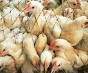
Avian influenza (H7N9) risk based on the northwards migratory patterns of birds using environmental and meteorological data has been mapped by scientists.

Till now there have been 127 confirmed cases of H7N9 in mainland China with 27 deaths and lack of data about the virus and its mode of transmission has led to public concerns that it could be a pandemic that is waiting to happen.
To quantify the risk of this happening, scientists from the Hong Kong Baptist University and Chinese University of Hong Kong generated a map of H7N9 risk in eastern China.
The distribution of potentially infected poultry was also included in the model.
The majority of early cases of H7N9 were found in Shanghai, which is not a big poultry exporter so the model shows limited transmission via this route.
In contrast, Jiangsu distributes poultry to Shanghai, Zhejiang, and beyond.
He said that the preliminary results of the study made a prediction of bird flu risk that could explain the pattern of the most recent cases.
He added that since the effect of poultry-to-poultry infection is not really understood it may become necessary to regulate the activity of poultry markets.
A map of avian influenza (H7N9) risk has been published in Biomed Central's open access journal Infectious Diseases of Poverty.
Source-ANI
 MEDINDIA

 Email
Email
