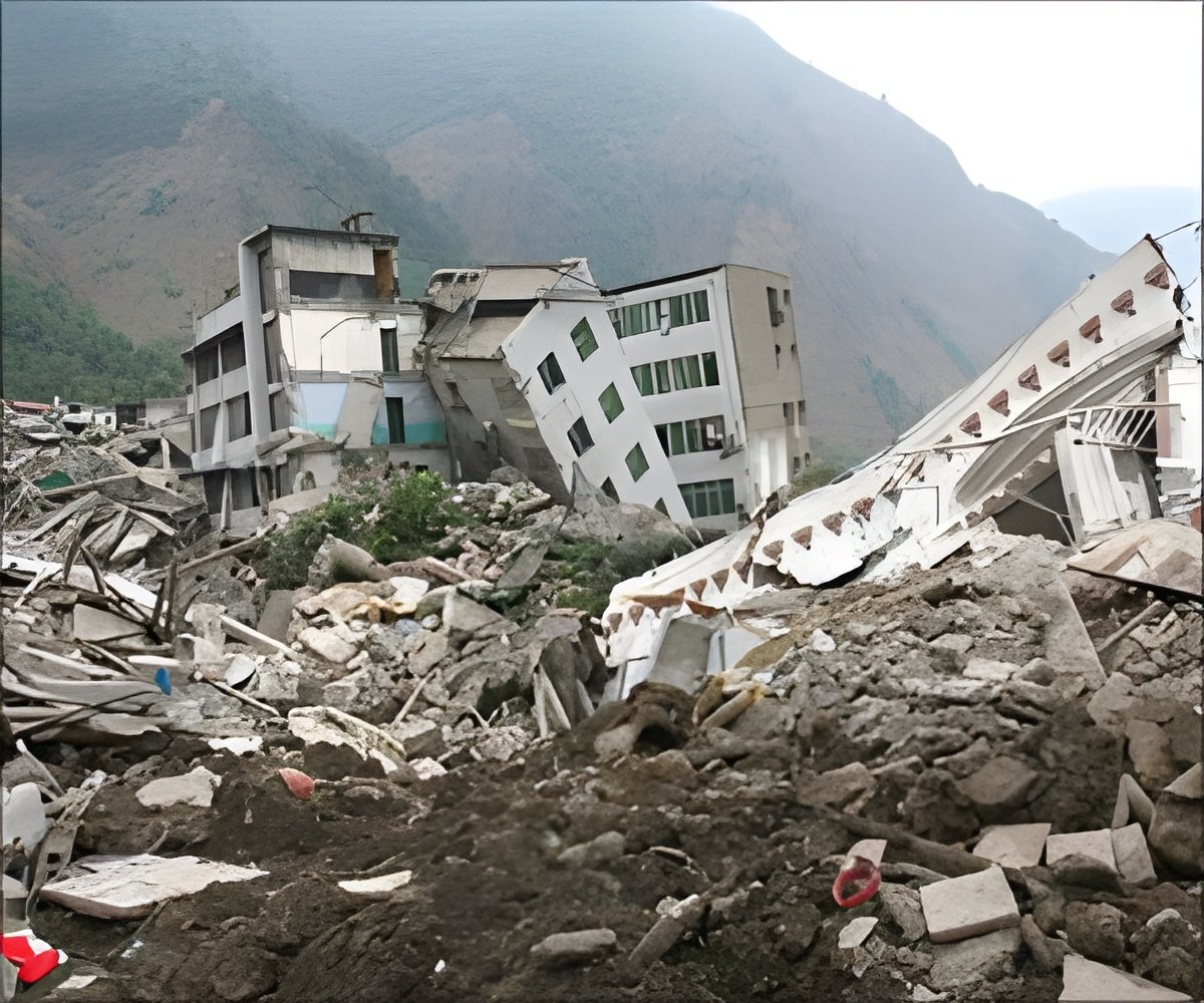
The team of scientists, from Edinburgh University, used the data to examine the impact of such movements, called tectonic activity, on hills in California's San Andreas Fault.
The data from the study revealed how tectonic activity, that is linked to earthquakes and often occur at the boundaries between plates, has shifted land up, down and horizontally at a ridge known as 'Dragon's Back'.
The team found that the movement of plates determines how sharp a hill's ridges are and the length and steepness of its slopes.
Higher hilltops and steeper slopes are evidence of a "growing" landscape associated with faults.
The team added that the study could alert scientists to future land shifts and fault activity.
Advertisement
Source-ANI


